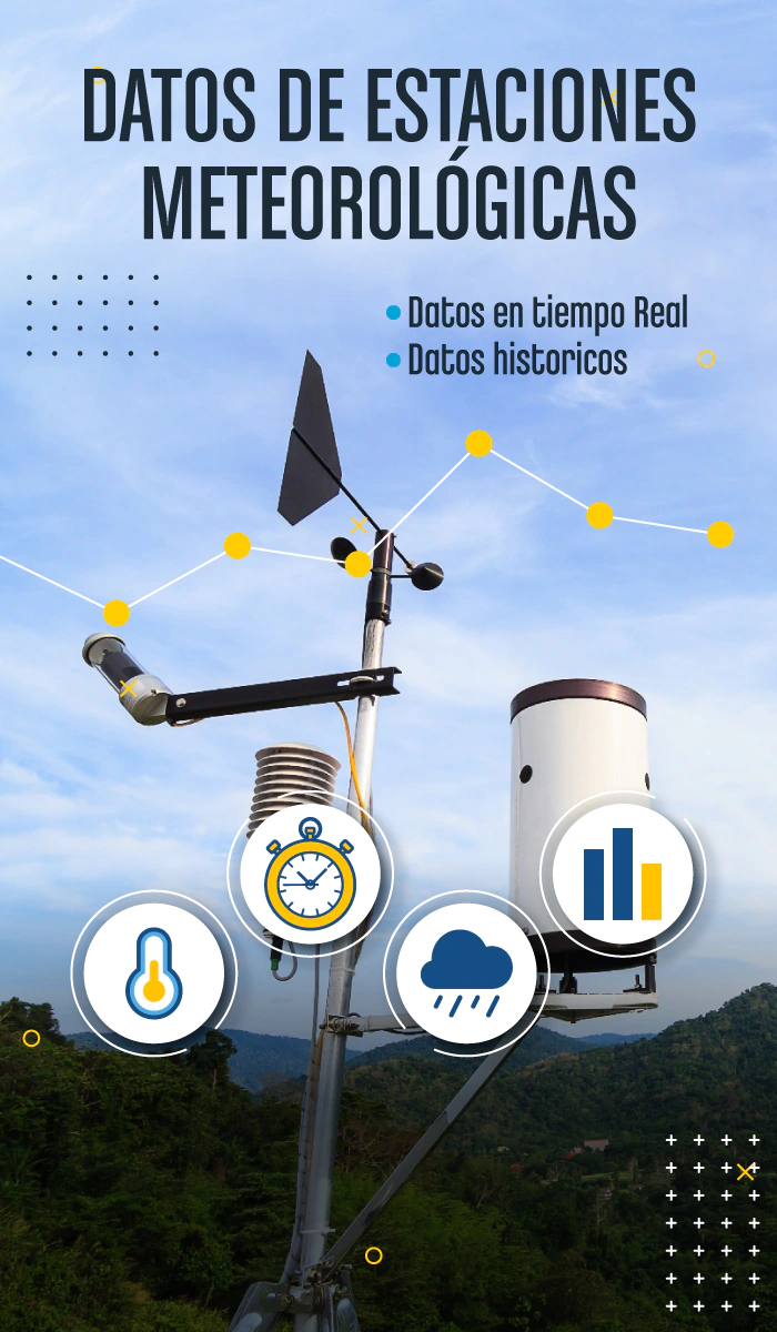
Tools that integrate historical data, real-time information, and predictions to anticipate risks and optimize operations.
Reliable technology available when you need it most.
Request a personalized demonstration
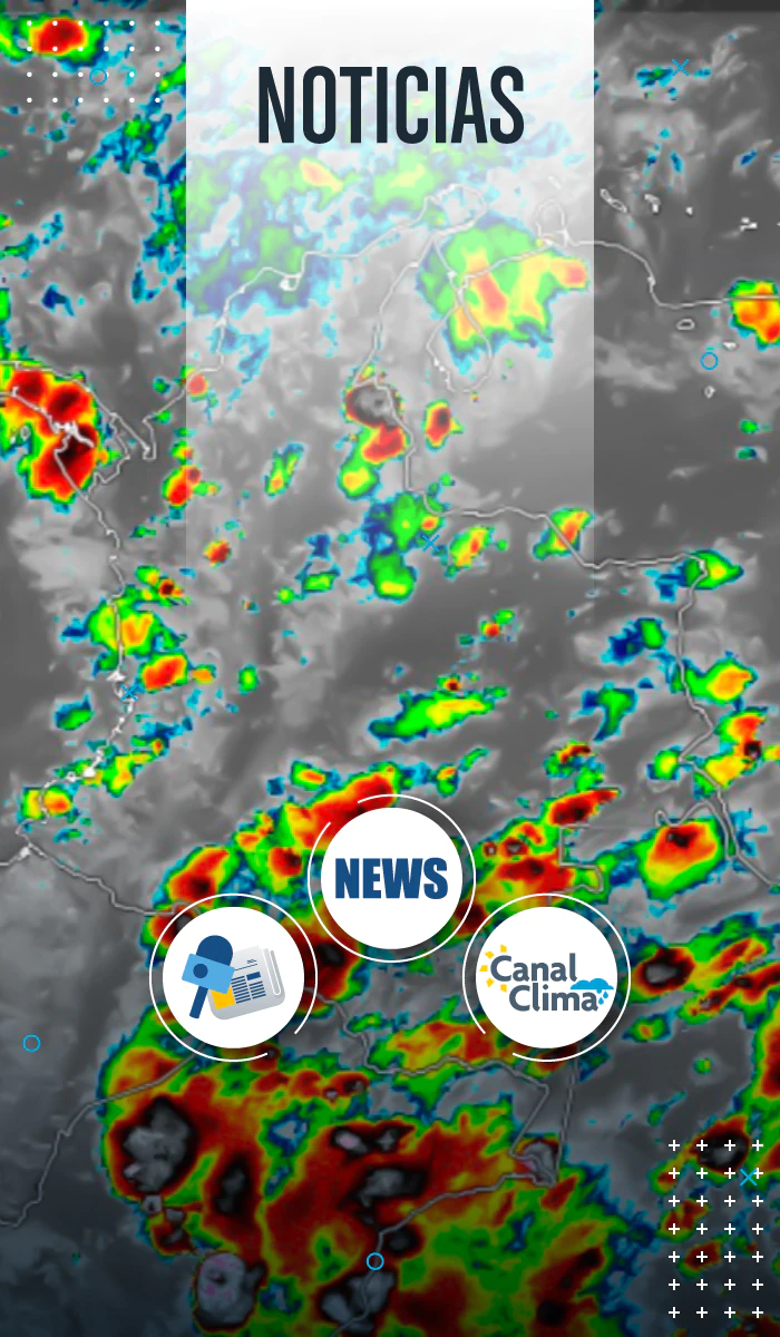
Full integration with the Canal Clima monitoring network.

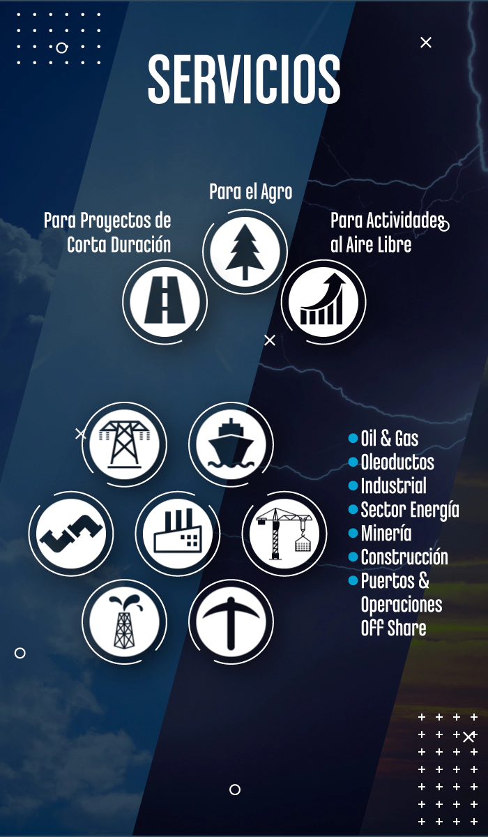
Scalable and customizable solutions.

Information security under international standards.

Specialized technical support 24/7

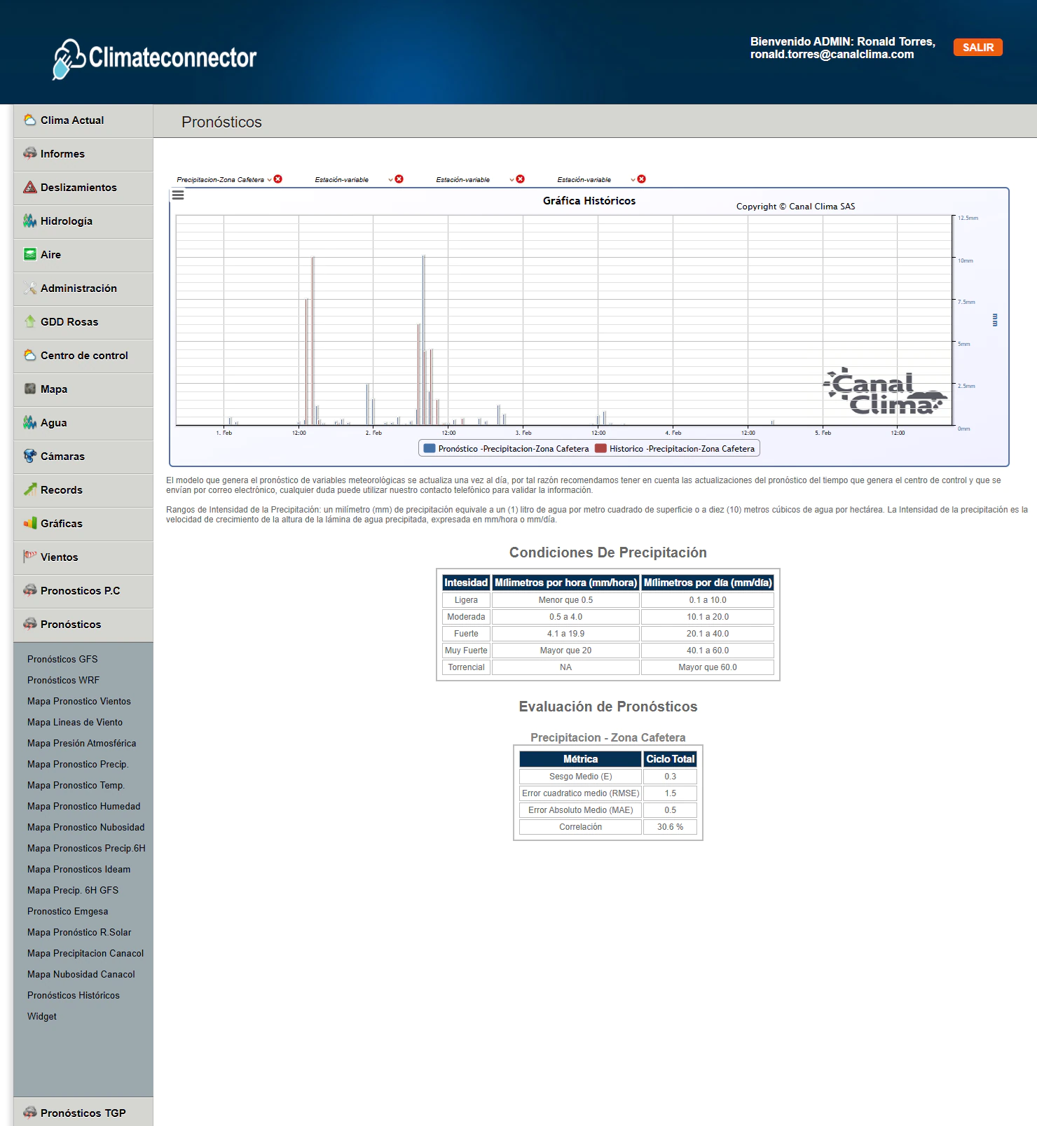
Hourly and daily forecasts.

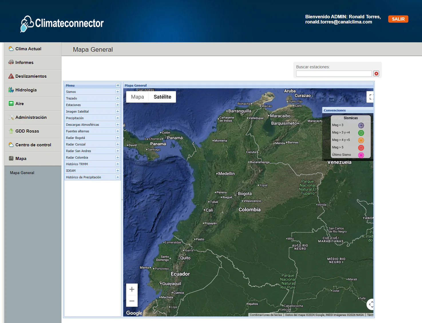
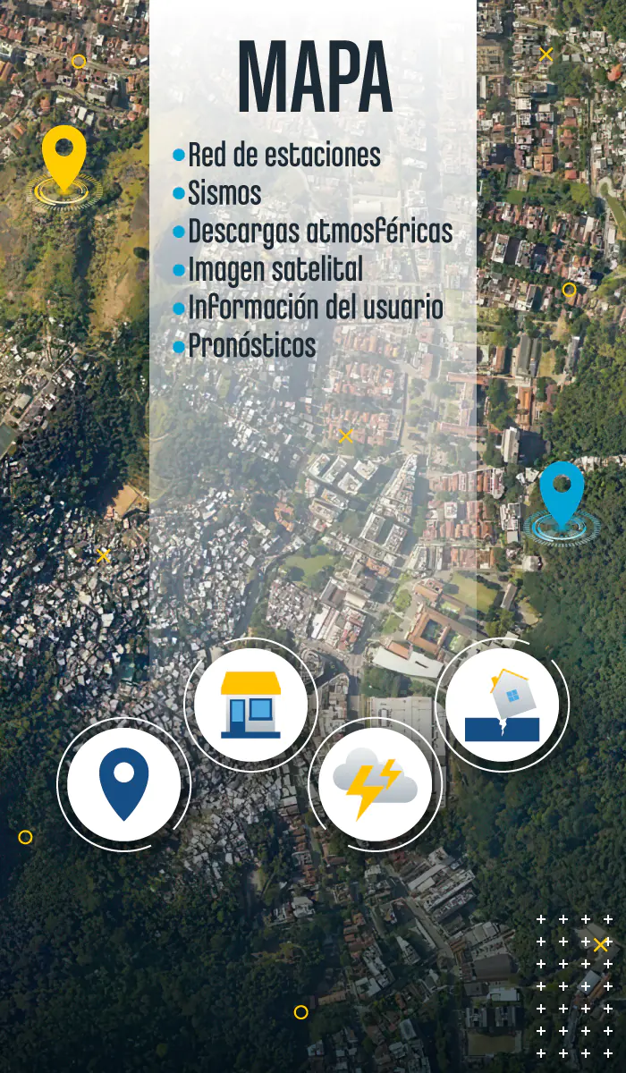
Interactive map.

User management.
At Canal Clima, we integrate observation, analysis, and technical operations to transform geoscientific information into reliable inputs for strategic decision-making. Each service is designed according to standards of traceability, accuracy, and operational continuity.
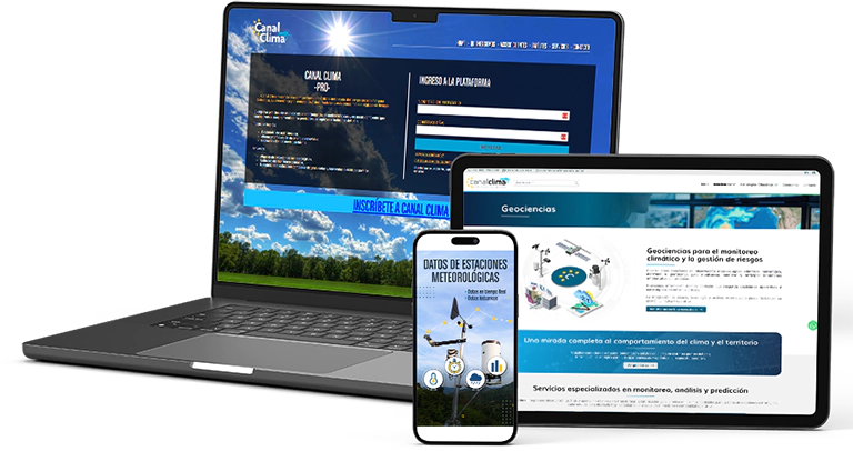
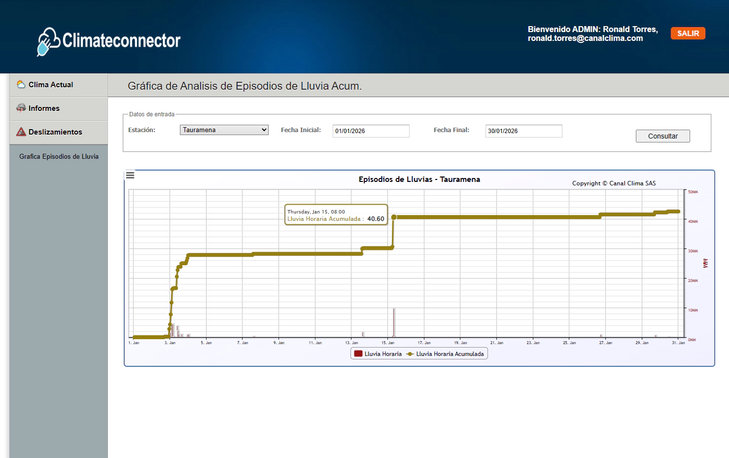
Web platform for monitoring and analyzing meteorological, climatic, hydrological, maritime, geotechnical, and satellite data in real time.
Centralizes information to support accurate and proactive operational decisions.
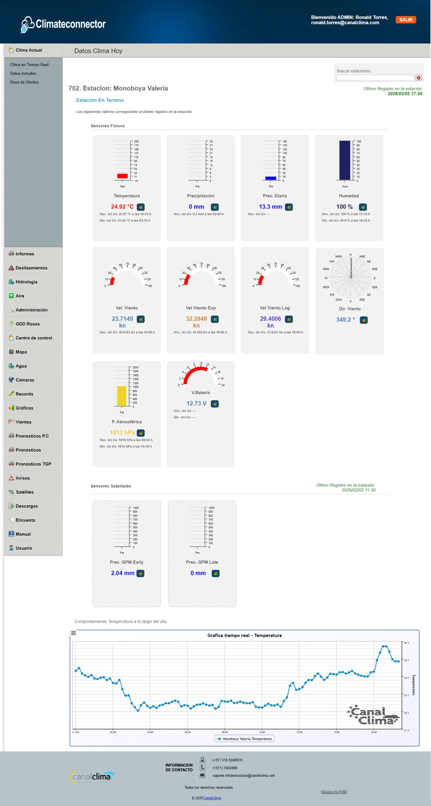
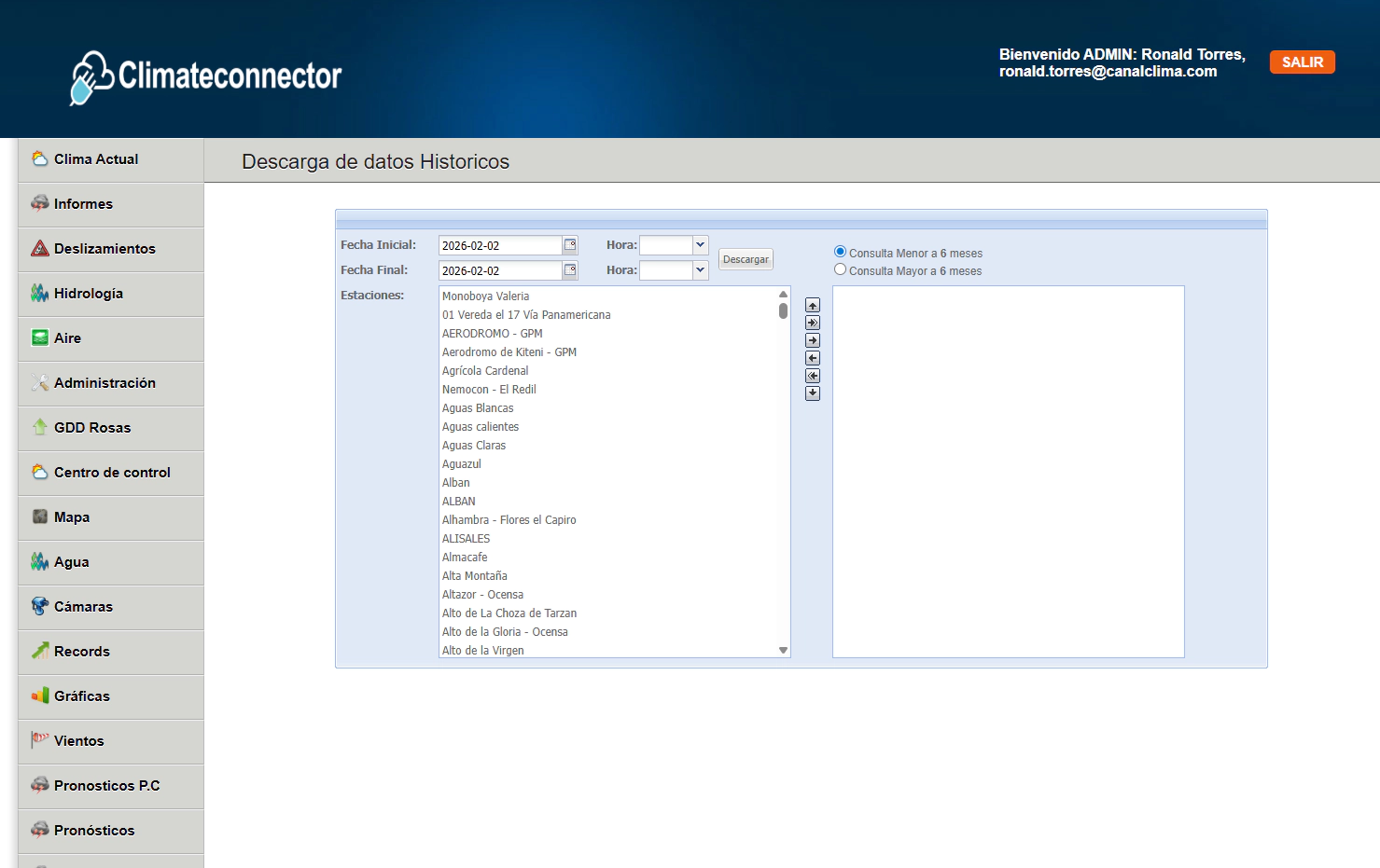
 Centralized visualization of data from stations, satellites, and customer sources.
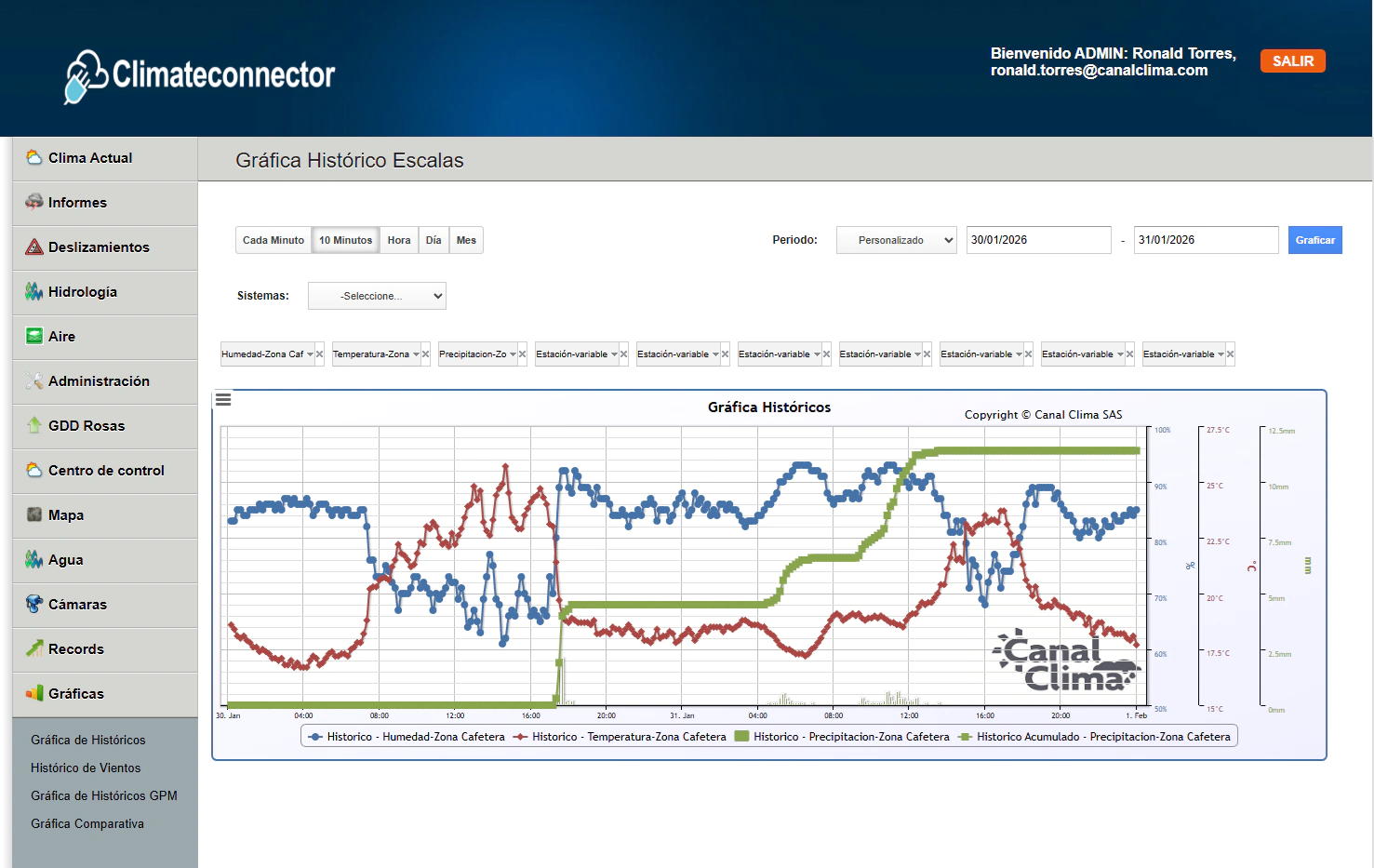
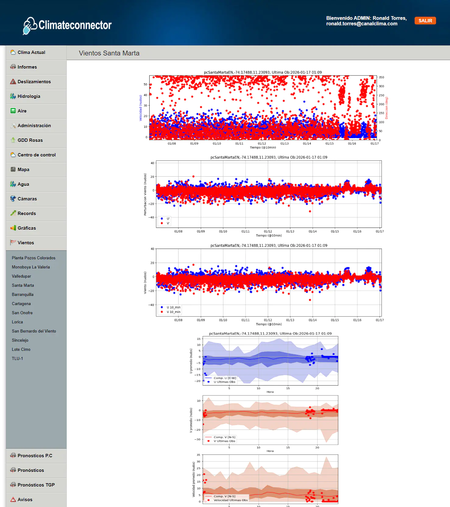
 Interaction with real-time graphs that enable accurate analysis and comparisons between variables and periods.
Mobile application for Android and iOS that provides personalized access to historical data, real-time information, and forecasts of meteorological, climatic, hydrological, maritime, and geotechnical variables.
Designed for field work, it allows users to monitor critical variables, receive timely alerts, and support operational decisions.
 Agile visualization of current conditions and relevant trends.
 Operational monitoring of critical variables directly from the field.


Interface designed to integrate geoscientific, satellite, and operational data directly into external platforms.
Provides reliable, standardized, and continuously flowing information for the development of customized solutions.
 Automation of information flows for analysis and reporting.
 Structured integration of geoscientific data into external platforms.