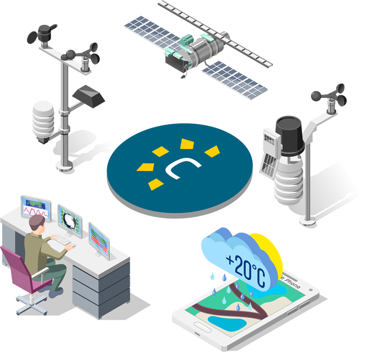
Geosciences for climate monitoring and risk management
We develop meteorological, climatic, hydrological, maritime, and geotechnical observation solutions to accurately monitor, analyze, and anticipate environmental phenomena.
We provide reliable technical information that supports operational and strategic decisions in critical environments.
The integration of science, technology, and specialized analysis can strengthen your climate and operational management.
View current conditions, trends, and warning signs in different parts of the country. Strategic information to anticipate threats and optimize operational response.
Specialized services in monitoring, analysis, and prediction
At Canal Clima, we integrate observation, analysis, and technical operations to transform geoscientific information into reliable inputs for strategic decision-making. Each service is designed according to standards of traceability, accuracy, and operational continuity.
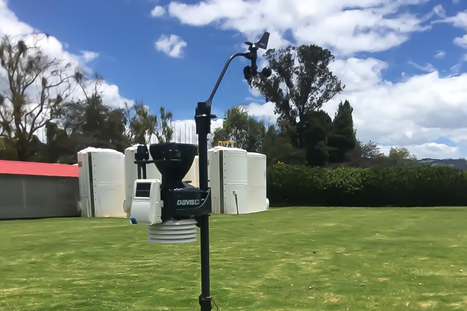
Reliability and continuity in geoscientific data capture.
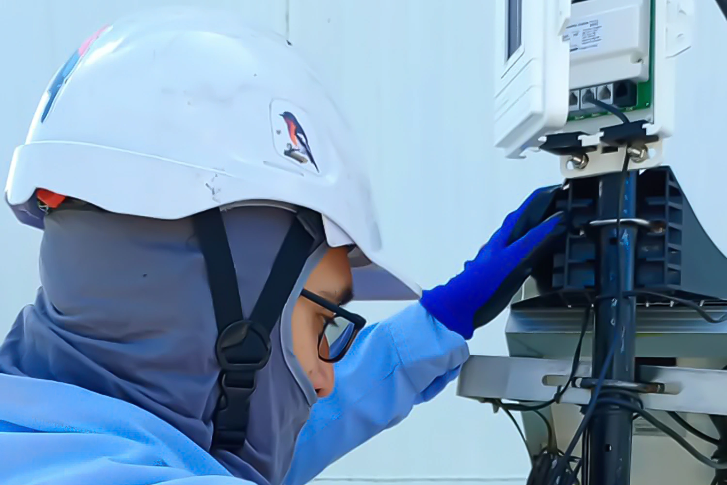
Comprehensive service aimed at ensuring the operability, accuracy, and traceability of meteorological, hydrological, maritime, and geotechnical monitoring networks.
A continuous flow of data and optimal performance of field equipment are possible with robust technical management.
Technical capabilities
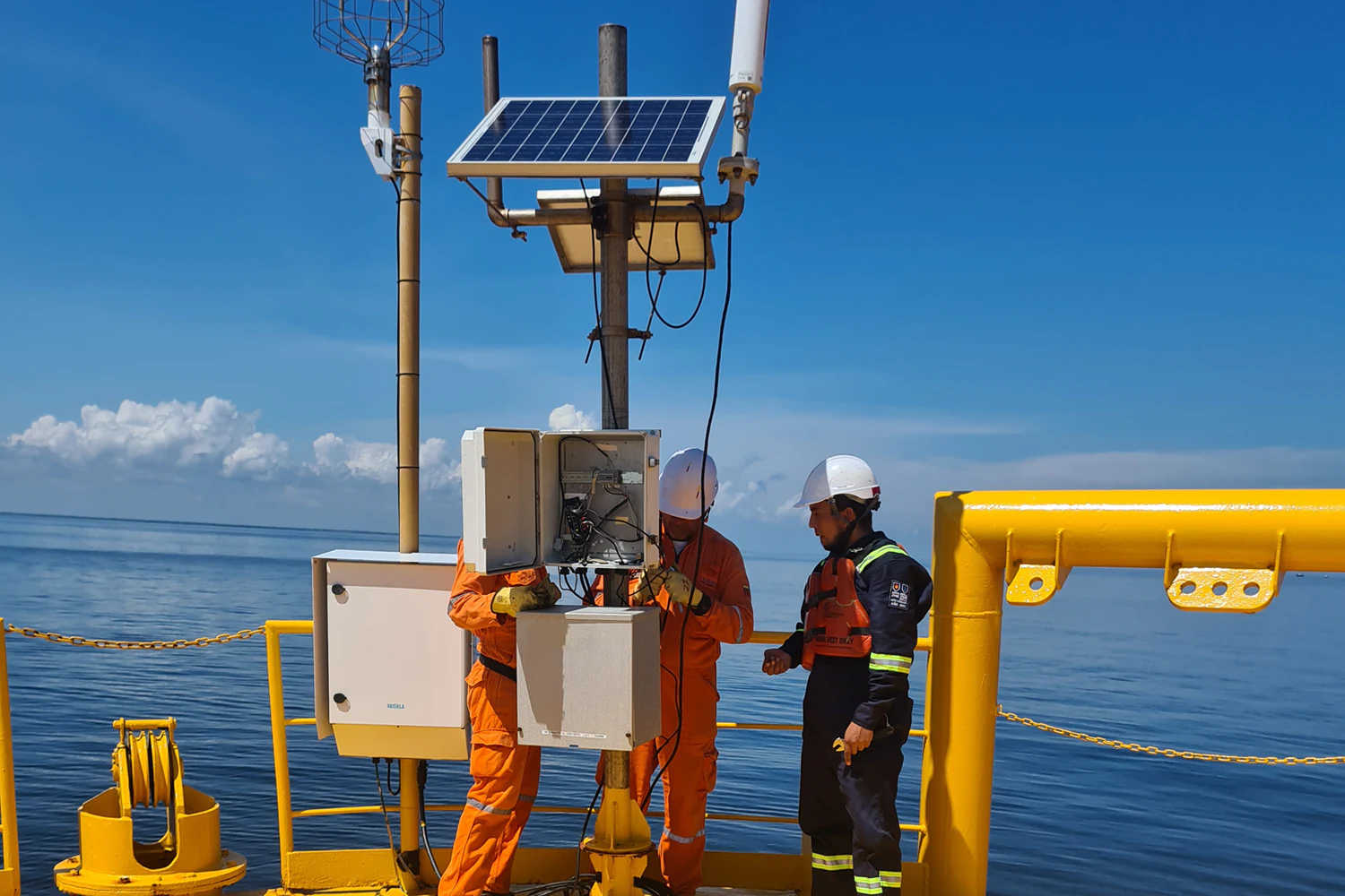
Installation of specialized measuring stations and instruments according to technical requirements and site conditions.
Preventive and corrective maintenance to ensure optimal system performance.
Network operation and administration under quality and operational continuity protocols.
Technical verification and performance monitoring to ensure data integrity.
Technical and operational value
Each network is managed according to WMO best practices, ensuring optimal system performance and the integrity of the information collected.
The service is tailored to projects in energy, oil & gas, infrastructure, agriculture, and environmental management.
Key benefits
Maximum operational availability of monitoring systems.
Reduction of failures and loss of information.
Calibrated equipment and technically verified data.
Data transformed into knowledge for strategic decisions
Specialized service in the processing, modeling, and technical evaluation of geoscience information, aimed at strengthening planning, risk management, and strategic decision-making in productive and territorial sectors.
Technical capabilities
Analysis of thresholds and climate variables to identify risks and trends.
Statistical evaluation and validation of data from internal or external networks.
Implementation of data quality management systems and equipment calibration.
Development of predictive models and climate scenarios for planning and adaptation.
Evaluationofcriticalgeoscientific data.
We integrate scientific methodologies, multivariate analysis, and decision support tools to deliver quantifiable, traceable results tailored to each client’s operational context.
Our reports combine technical rigor with practical interpretations for infrastructure, energy, agriculture, and public management projects.
Key benefits
Validated and scientifically supported information.
Early identification of environmental and operational risks.
Improved efficiency in planning and regulatory compliance.
Technical support and knowledge transfer to the client.
Continuous monitoring and timely alerts to anticipate and mitigate climate risks.
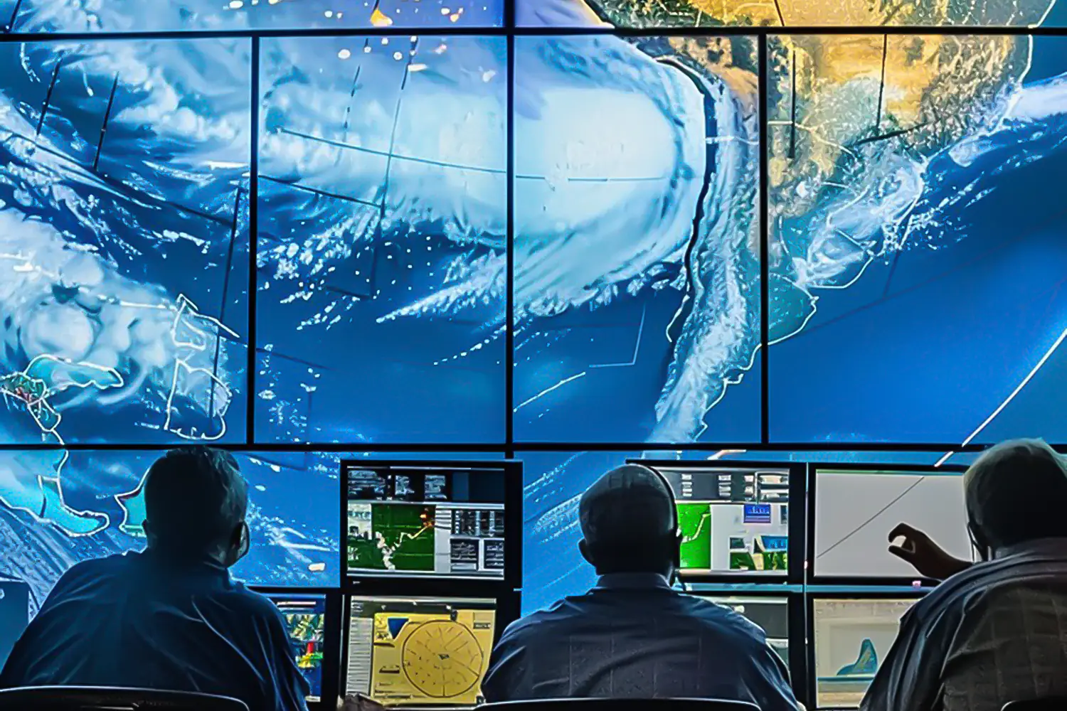
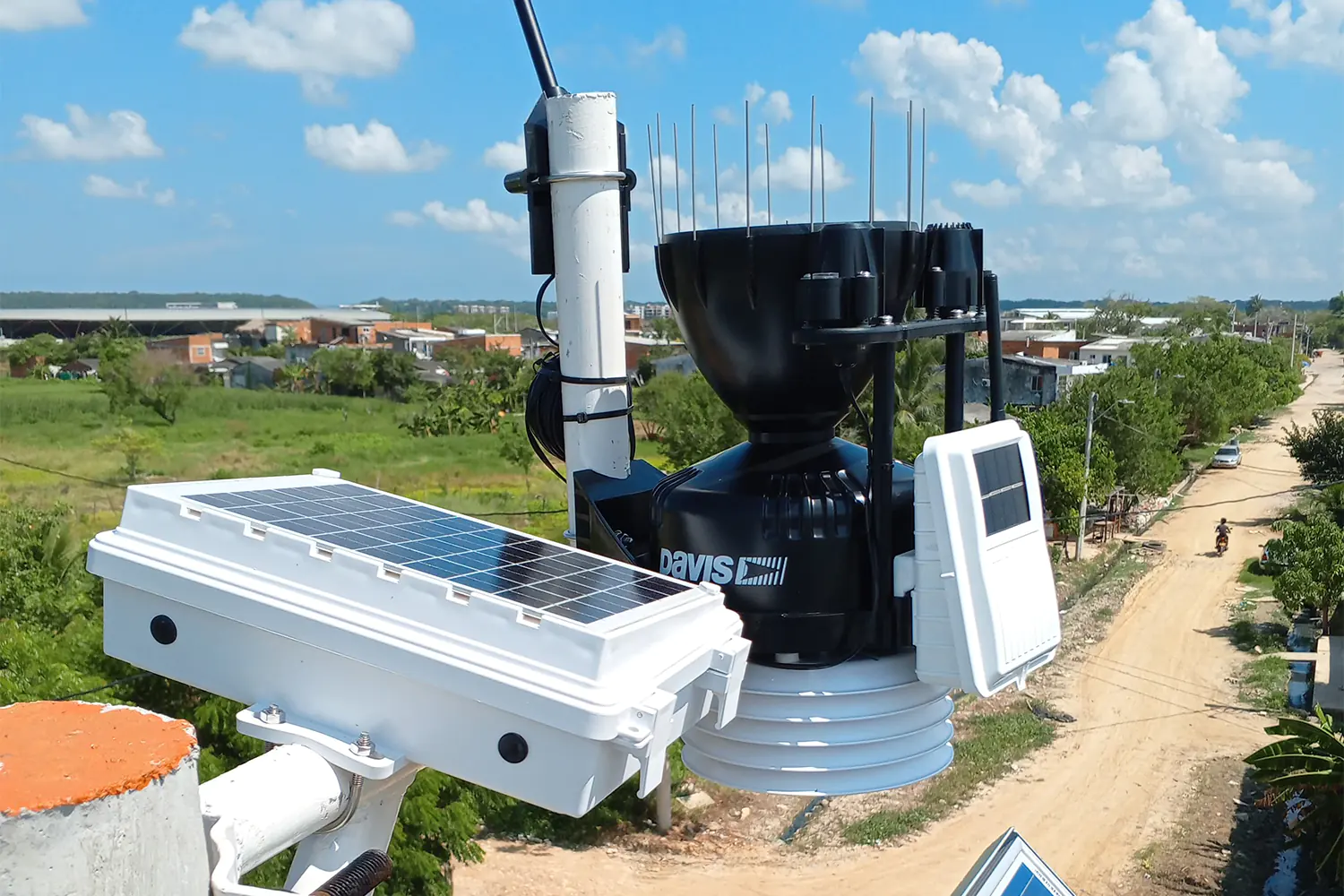
Specialized service in meteorological, climatic, hydrological, maritime, and geotechnical monitoring to prevent risks that could affect critical infrastructure, industrial processes, and the safety of people and the environment.
Operates 24/7 from a Control Center with expert professionals, integrating measuring instruments, satellite information, and data science for early detection and timely decisions.
Technical capabilities
Weather forecasts based on atmospheric modeling.
Real-time monitoring using OUTDOOR/INDOOR stations.
Integration of satellite data, radar, and government sources.
Detection of storms and lightning strikes.
Weather, climate, hydrological, maritime, and geotechnical monitoring.
Remote observation using remote sensing cameras.
Applications
Designed for climate-sensitive sectors that need to ensure operational continuity, protect assets, and optimize their response capabilities through systems that integrate continuous monitoring, predictive analytics, and real-time information to anticipate threats.
Key benefits
Reduction of incidents and operational losses.
Greater security for personnel and infrastructure.
Regulatory compliance and information traceability.
Digital integration with proprietary platforms and systems.
Scientific rigor, technological support, and proven experience
From energy and oil to agriculture, mining, and public management, we provide high-value weather and climate information for the planning, safety, and sustainability of operations.
Each sector faces different challenges, but they all share the same goal: turning data into decisions that generate value and protection.
Public and Government Management
Public entities require reliable information to prevent disasters and plan land use.
Canal Clima is a technical partner in the development of climate adaptation policies and strategies through:
Geosciences: early warning systems and risk maps.
Climate Strategies: regional mitigation and adaptation plans.
Integrations: platforms for real-time event management and communication.
At Canal Clima, we strengthen precision agriculture through information and technology that enable us to anticipate pests, optimize irrigation, and improve harvests:
Geosciences: monitoring humidity, temperature, and precipitation for each crop.
Climate Strategies: carbon and biodiversity projects that promote sustainable practices.
Integrations: mobile platforms for monitoring conditions and alerts in the field.
Technology that transforms geoscience data into smart decisions
We develop digital platforms that integrate, visualize, and analyze meteorological, climatic, hydrological, maritime, and geotechnical data at your fingertips. Our tools connect climate science with operational management, facilitating safer and more efficient decisions in strategic sectors.
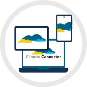
Climate Connector
Web platform for monitoring and analyzing meteorological, climatic, hydrological, maritime, geotechnical, and satellite data in real time. Centralizes information to support accurate and proactive operational decisions.
Mobile application (Android and iOS) for consulting historical data, real-time information, and forecasts of meteorological, climatic, hydrological, maritime, and geotechnical variables.
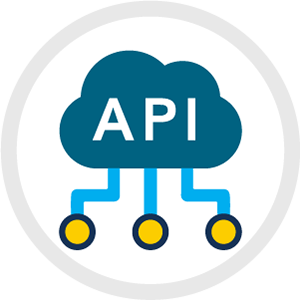
Integration interface that allows geoscientific, satellite, and operational data to be connected to external platforms in a secure and standardized manner.
We integrate science, technology, and continuous operation into high-precision climate solutions.
monthly alerts, backed by 24/7 monitoring.
of technical expertise applied in geosciences and climate management.
operational hydrometeorological stations in Colombia and the region.
projects carried out in strategic sectors in Latin America.
Stories that make a real impact
Projects that strengthen security, operation, and sustainability
Canal Clima's success stories demonstrate how our monitoring systems, digital platforms, and geoscientific analysis support critical decisions in strategic sectors.
Each project reflects reliable solutions that reduce risks, optimize operations, and deliver sustainable value.
CENIT
Weather monitoring for onshore hydrocarbon transport infrastructure
Implementation and operation of a comprehensive system with more than 90 stations, advanced telemetry, and 24/7 technical support to protect more than 7,000 km of oil pipelines.
Each Canal Clima implementation demonstrates how climate science and technology strengthen the security, efficiency, and sustainability of the sectors that drive development in Colombia and Latin America.
Learn how we can transform climate data into strategic decisions for your operation.